
land surveying
Why Aerial Mapping Is Stopping Illegal Land Use
Across the world, governments now use aerial mapping to stop illegal land activity. In recent days, officials overseas launched drone-based aerial mapping programs to track

Across the world, governments now use aerial mapping to stop illegal land activity. In recent days, officials overseas launched drone-based aerial mapping programs to track

Land development in Provo has always required careful planning. However, recent updates to Utah’s fault data are changing how developers evaluate land risk. What once

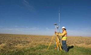
Construction projects across Northern Utah are moving fast—until they suddenly stop. In recent weeks, many developers and property owners have seen their projects pause even