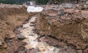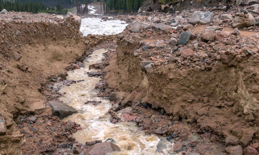
When Provo residents looked up at dark clouds rolling over the mountains this past week, few expected the destruction that followed. A sudden microburst hit the Buckley Draw Fire burn scar and unleashed a massive mudslide into nearby neighborhoods. Nearly 15 acre-feet of sediment poured down the canyon, flooding basins and leaving people shaken. Local leaders called it a ten-year storm that acted like a twenty-five-year event. City crews are now rushing to extend a debris channel and build a new basin.
But here’s the big question: Could an elevation survey have predicted this risk before it happened?
Why Mudslides Follow Burn Scars
Wildfires strip the land of vegetation. Without plants and roots, soil loses stability. When a strong storm hits, water runs straight down steep slopes, carrying mud and rocks with it. That’s exactly what happened in Buckley Draw.
When engineers and city officials don’t have detailed terrain data, they can’t fully model how runoff will behave. Even a few missing elevation points can mean the difference between a safe drainage plan and a devastating flood. That’s where an elevation survey makes all the difference.
What an Elevation Survey Does
An elevation survey maps the rise and fall of land. Surveyors measure the exact heights of ground points and show how slopes connect. With this data, engineers can see where water will speed up, where it will pool, and where it might break loose.
Think of it like a 3D roadmap of the land. While a basic property survey only shows boundary lines, an elevation survey digs deeper. It’s one of the many tools used in land surveying, the profession that helps communities understand the shape of the ground and how it affects both safety and development. In Provo’s case, this kind of survey would have shown how the steep burn scar above the canyon had no natural barriers left to slow the stormwater.
The Tools Surveyors Bring to the Table
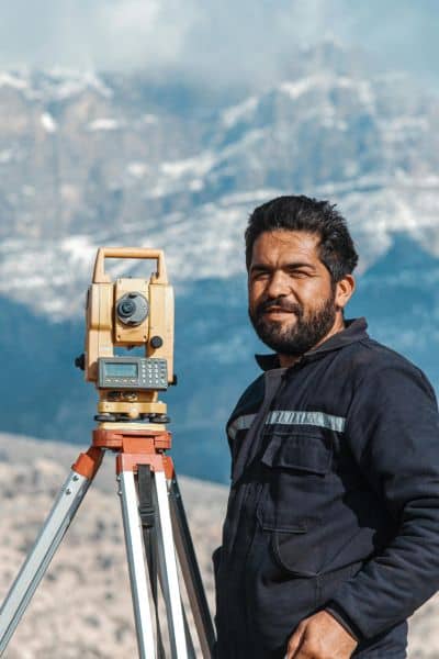
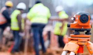
Surveyors today don’t just carry tripods and rods. They use advanced tools like drones, LiDAR scanners, and GPS networks. These tools allow them to create highly detailed elevation maps in a fraction of the time compared to traditional methods.
- Drones with LiDAR can fly over burned slopes and capture thousands of data points in minutes.
- GPS control networks keep the data tied to a reliable coordinate system, which helps engineers align maps across projects.
- Rapid topo mapping makes it possible to update terrain data immediately after a fire or storm.
If Provo had this fresh elevation data after the Buckley Draw Fire, city planners could have seen where runoff would carve new channels and where debris would likely pile up.
How Surveys Protect Homes and Communities
Mudslides don’t just threaten city infrastructure. They also put individual homes at risk. Many residents near Provo Canyon live on alluvial fans, which are flat spots where past mudflows have spread out. These areas look safe, but they can flood fast when debris comes rushing down.
Here’s how an elevation survey helps residents:
- Before buying a home: Buyers can learn if a property sits in a natural flow path.
- For insurance: FEMA often requires an elevation certificate to calculate flood risk and premiums.
- For safety upgrades: Homeowners can use survey data to decide where to build retaining walls or redirect drainage.
When people invest in an elevation survey, they gain a clearer picture of what their land can handle. It’s a small cost compared to the price of cleaning up after a mudslide.
Lessons from Provo’s Response
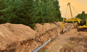
After the September storm, Provo city leaders announced plans to extend the existing debris channel by more than 1,200 feet and to build a new basin. These steps will help catch mud and water before it reaches homes. The project should take about two months to complete.
The quick response is good news, but it also highlights how important data is before disaster strikes. With up-to-date elevation surveys, engineers can design basins and channels based on actual terrain conditions rather than outdated maps. The faster they get accurate survey data, the sooner they can create designs that work.
What Residents Should Do Now
If you live in Provo or anywhere near a burn scar, now is the time to act. Waiting until after the next storm could be too late. Here are some practical moves:
- Talk to a licensed land surveyor. The smartest first step is to order an elevation survey so you know how your property sits against runoff and flood risks.
- Request a FEMA elevation certificate if you suspect your home may sit in a flood zone. Having current elevation data makes this process faster and more accurate.
- Share your survey results with engineers or city planners when new mitigation projects begin. Reliable data helps shape stronger protections for your neighborhood.
By acting early, homeowners can replace uncertainty with solid information and take control of their safety.
The Bigger Picture
Elevation surveys are more than technical drawings. They are life-saving tools that give both residents and city leaders the knowledge they need to make smart decisions. From predicting mudslide paths to guiding the placement of basins and channels, surveys help communities avoid costly mistakes.
The mudslide was a painful reminder that nature doesn’t wait for us to prepare. But it also gave us a clear lesson: the right survey at the right time can protect homes, save money, and give peace of mind.
Final Thoughts
The Buckley Draw Fire left Provo vulnerable, and the storm exposed that weakness. Yet the solution lies within reach. With regular elevation surveys, the city can build smarter defenses, and residents can understand their own risks.
So the next time clouds gather over the Wasatch Front, won’t just hope for the best. It will stand ready—with data, planning, and a safer future mapped out.
