A boundary line survey might sound technical, but it’s really about peace of mind. If you’re buying or already own property, you’ve probably wondered—where does my land really start and end? For first-time property owners, that question can feel confusing. The good news is that a boundary line survey gives you clear answers, so you don’t end up with surprises, disputes, or costly mistakes.
What Is a Boundary Line Survey?
A boundary line survey is a professional measurement that shows exactly where your property begins and ends. Unlike a simple sketch or a guess based on where a fence sits, it is done by a licensed Utah land surveyor using official records and precise equipment.
This type of survey confirms your property corners and identifies overlaps, easements, or encroachments. In a fast-growing city like South Jordan, with new subdivisions rising next to older neighborhoods, having this clarity matters more than ever.
Why First-Time Property Owners Should Care
Many first-time property owners don’t think about surveys until there’s a problem. However, waiting until an issue comes up often costs more and creates stress.
Imagine discovering that your neighbor’s fence extends a few feet onto your lot. Or realizing that part of a driveway crosses the edge of your land. Maybe you want to build a shed, but you’re not sure if it stays within your property. These situations happen more often than people think, especially in South Jordan’s fast-growing communities like Daybreak. A boundary line survey prevents these problems before they turn into expensive disputes.
The Boundary Line Survey Process
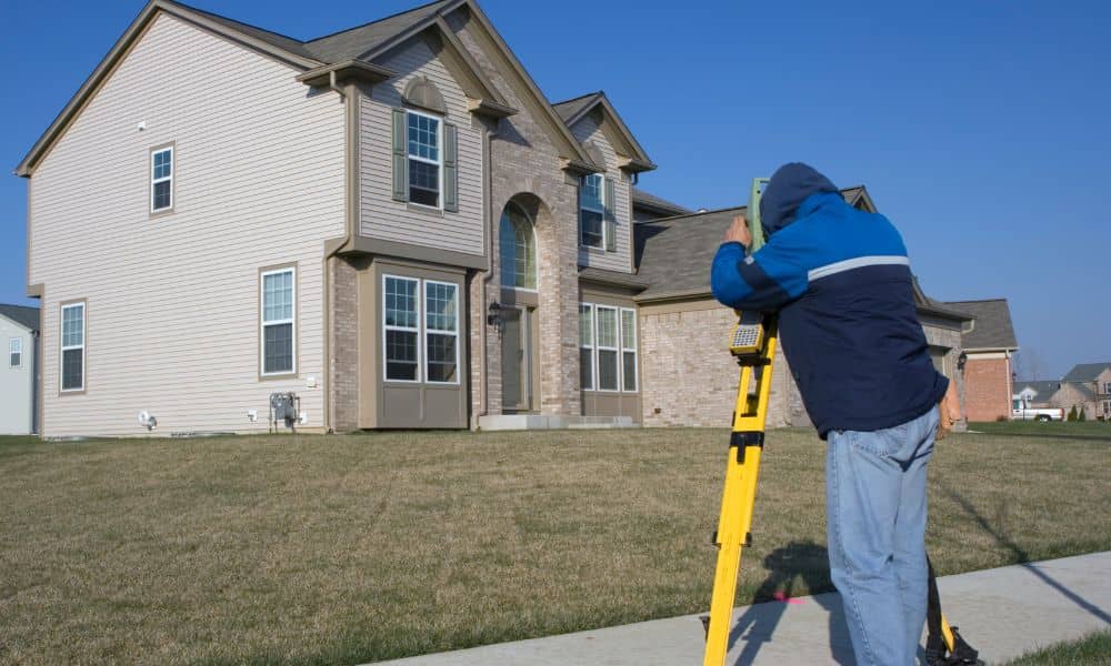
When you order a boundary line survey, the process starts with research. Your surveyor checks deeds, plats, and records from Salt Lake County to understand the history of your property. After that, they head to the site.
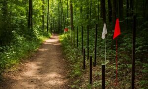
During the fieldwork, the surveyor measures the land using specialized equipment. They may place markers or stakes to show the exact location of your property lines. Once the fieldwork is finished, the surveyor prepares a detailed map. This map outlines your boundaries, highlights any easements, and shows possible encroachments.
Most surveys in South Jordan take anywhere from a few days to a couple of weeks, depending on the size and complexity of the property. Throughout the process, your surveyor should explain what’s happening, so you feel confident every step of the way.
What You’ll See on the Survey Map
The finished survey map is clear and detailed. It shows your property lines with accuracy, along with any encroachments like fences, sheds, or driveways that cross onto or off your lot. It also lists easements for utilities, drainage, or shared access. In addition, it can show physical features that may affect how you use the land.
This map becomes your proof if questions ever come up. Whether you are working with a neighbor, planning a renovation, or finalizing a real estate deal, the boundary line survey gives you facts you can rely on.
Common Situations in South Jordan Where Surveys Help
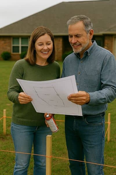
A boundary line survey may not seem urgent until a problem arises. Still, there are many times when having one makes a big difference.
When buying a home, a survey confirms that the property lines match what’s in the contract. If you’re selling, a recent survey gives buyers confidence. Planning a renovation or addition? A survey proves your project stays within your lot and helps you avoid stop-work orders from the city. And if you ever have a disagreement with a neighbor about fences, trees, or driveways, a survey provides the clear, legal answer.
In South Jordan, where new developments are mixed with long-standing properties, these situations happen often. Having a boundary line survey in hand keeps transactions smoother and relationships stronger.
Why Local Expertise Matters in South Jordan
Not all surveyors understand the unique mix of subdivisions, HOA rules, and zoning codes in South Jordan. That’s why working with a South Jordan land surveyor who is also Utah-licensed is so important.
Local expertise means your survey will be accurate and recognized by the city, title companies, and lenders. It also means fewer surprises and faster solutions if issues come up. In a city that’s growing as quickly as South Jordan, having someone who knows the local terrain and regulations is a real advantage.
Conclusion
If this is your first boundary line survey, don’t stress. The process is simple, and it gives you the clarity and protection you need as a property owner.
In South Jordan, where growth and development are constant, knowing exactly where your property lines sit is essential. So, order your survey early, hire a local expert, and move forward with confidence. The best way to protect your investment is to schedule a boundary line survey in South Jordan with a licensed surveyor you can trust.
FAQs
1. Do I need one if my lot already has a fence?
– Yes. Fences are not always built on the true property line. A survey proves the exact location.
2. How much does a boundary line survey cost in South Jordan?
– The price depends on the size and complexity of your lot. A small subdivision lot will cost less than a large rural property.
3. How long does it take?
– Most surveys take one to three weeks. Ordering early helps you avoid delays.
4. Who usually pays for it?
– It varies. Sometimes the buyer pays, sometimes the seller, and sometimes the cost is shared. It depends on the agreement.
