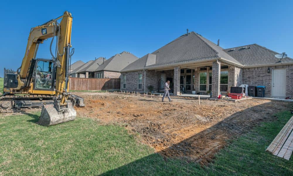
If you’ve been on social media lately, you’ve probably seen that viral story about a homeowner who came home to find part of their yard destroyed. A neighbor claimed the land was actually theirs, and the situation turned into a giant online fight. People jumped in with comments like “Get a survey!” and “Sue them now!” This blew up for one simple reason: most people have no idea where their real boundary is. And in a fast-growing city like Lehi—where new homes, fences, and sheds appear every week—these problems show up more than you’d think. That is why a property line survey matters long before a shovel ever hits the ground.
The Viral Story and Why It Hit a Nerve
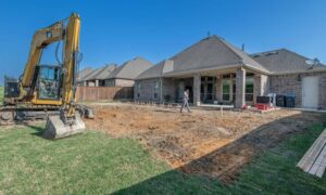
In the viral case, one neighbor thought the property line was “a little flexible.” They eyeballed it. They trusted old fence posts. They guessed. And because of that confidence, they tore out part of the yard next door—plants, soil, everything.
When the real homeowner saw the damage, they were shocked. But the bigger shock came later: no one truly knew where the real line was. Not even the people who tore up the yard.
That’s when the internet exploded with advice, warnings, and “Tree Law” jokes. The message was loud and clear: if you don’t know your real boundary, you don’t actually know what you own.
And in Lehi, where land prices keep rising and lots keep shrinking, guessing is the worst thing you can do.
Why Homeowners Should Pay Attention
Lehi is one of Utah’s fastest-growing cities. New subdivisions pop up every year. Backyards sit close together. Fences run tight against each other. And because everything is packed so close, even a few inches can spark a huge fight.
Here’s what often happens in Lehi neighborhoods:
- A builder sets a fence where it was “easiest,” not where the lot actually ends.
- A homeowner plants trees that, years later, lean over the boundary.
- A new neighbor replaces an old fence but moves it a foot inside your land.
- A shed, deck, RV pad, or garden bed crosses the line without anyone realizing it.
When that happens, feelings get hurt fast. But feelings don’t fix anything. Facts do—and those facts come from a property line survey.
What a Property Line Survey Actually Does
A lot of homeowners think a property line survey just means “marking where the fence goes.” But it’s much more accurate and technical than that.
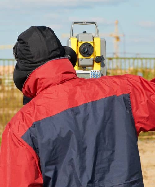
A licensed surveyor digs into records, plats, markers, and monuments that were set years—sometimes decades—ago. They follow exact measurements tied to the Public Land Survey System (PLSS). They use tools like GPS and total stations to find the true corners of your lot.
When the work is done, you get:
- A clear map
- Marked corners
- Flagged lines
- A stamped document that proves your boundaries
With that, no one can “eyeball” the line and cause expensive damage. Not your neighbor. Not their landscaper. Not even a contractor who thinks they know better.
How a Property Line Survey Would Have Changed the Viral Story
Imagine that the homeowner in the viral post had a current survey. The moment the neighbor started digging, they could have shown:
- A stamped drawing
- Real measurements
- Exact line markers
Everything would be black and white. No arguing. No “I thought this was mine.” No “My cousin says it’s over here.”
The homeowner would have had legal proof, not just frustration and photos of torn-up soil. And if the neighbor ignored the proof? The homeowner could bring the survey to the city, police, insurance, or an attorney.
Facts win. Guesses lose.
Think It Won’t Happen in Your Lehi Neighborhood? Think Again.
Let’s talk about real-life situations in Lehi that turn into problems fast:
1. A new fence goes up overnight.
Maybe the neighbor hired installers who didn’t check the plat. It happens all the time.
2. Someone adds a shed or gazebo.
If it crosses the boundary—even by inches—you could face a dispute later.
3. Kids dig a trampoline pit too close to the edge.
Yes, this has caused fights. A lot of them.
4. A neighbor decides to “fix” a slope or retaining wall.
In Lehi, many yards sit on engineered slopes. One wrong dig can cause soil movement or drainage problems.
5. You plan to upgrade your backyard.
Deck, patio, sprinklers, trees—everything needs the right placement to avoid future conflicts.
These are everyday situations. And they’re all preventable with one simple step.
What Actually Happens During a Property Line Survey?
The process is easier than most people expect:
First, the surveyor checks the records.
They review plats, subdivision drawings, deeds, and any markers already recorded for your lot.
Next, they head to the field.
They use advanced equipment to locate corners and measure your exact boundary.
Then, they set markers.
These can be rebar, caps, stakes, or flags—clear visual points you can walk and understand.
Finally, they create the official map.
This shows distances, bearings, and any visible encroachments.
It’s simple, but powerful. And once you have it, the line is no longer a mystery.
What To Do If a Boundary Issue Has Already Started
If you see a neighbor digging, building, or tearing something near the border, don’t panic. And don’t argue. Here’s the better way:
- Stay calm and take photos.
- Ask them kindly what they’re working on.
- Don’t move anything yourself.
- Order a survey right away.
- Share the survey results in a friendly, factual way.
Most neighbors back down once they see real measurements instead of emotions.
The Real Reason This Viral Story Matters
It shows what happens when two people guess instead of knowing. It shows how fast a simple mistake becomes a public mess. It shows that a few feet—or even a few inches—can cost hundreds or thousands of dollars.
A property line survey is not about being difficult. It’s about protecting your home, your money, and your peace of mind.
Final Thoughts
You don’t want to end up on social media asking strangers what to do because part of your yard got torn up. And you definitely don’t want a simple fence or shed project to spark a fight with the neighbor next door.
That’s why property line surveys help so much. They give you a clear picture of where your land actually ends, without guesswork. In a fast-growing place like Lehi, having that clarity makes every project easier.
So before you build—or before a neighbor starts digging—make sure you understand your true boundary. That little bit of certainty now can save you from a huge headache later.
