Topographic Surveys Change After an Archaeological Debate
Topographic surveys help people understand the shape of the land. For many years, they have supported planning, design, and land decisions. Recently, however, a new online debate brought topographic surveys into focus for a different reason. A discussion about archaeological mapping and survey technology spread quickly among professionals. Because of this, many people have started […]
A Short History on Land Surveying
Land surveying is one of the the oldest professions anywhere. When a parcel line separates two owners – land surveying is needed.
What You Need to Know About Land Surveying
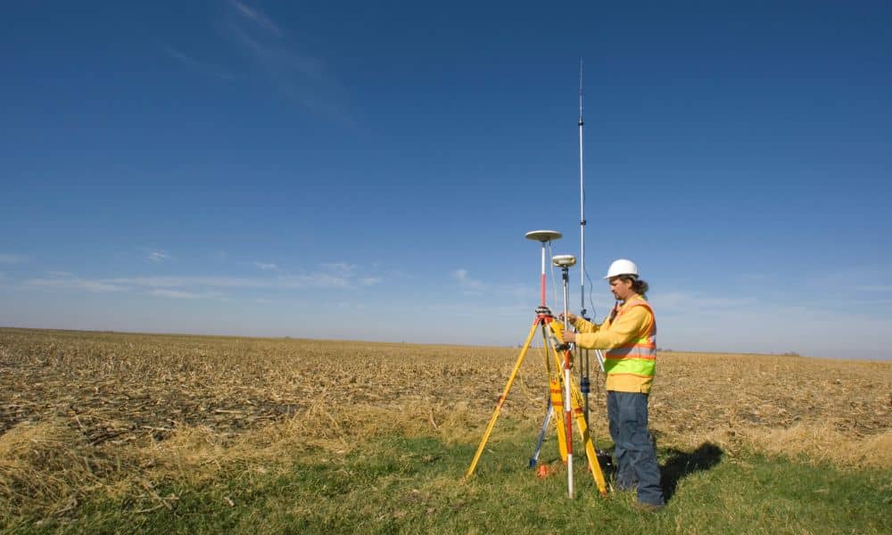
What is Land Surveying? Land surveying is the art and science of accurately measuring parcels of land. Measurements such as dimensions, lengths, boundary lines, including structures within the area are all precisely determined through a land survey. These measurements are used to establish land alps, boundaries for ownership or for governmental purposes. It is a […]