Drone Surveying: How FAA BVLOS Rules Could Reshape Work

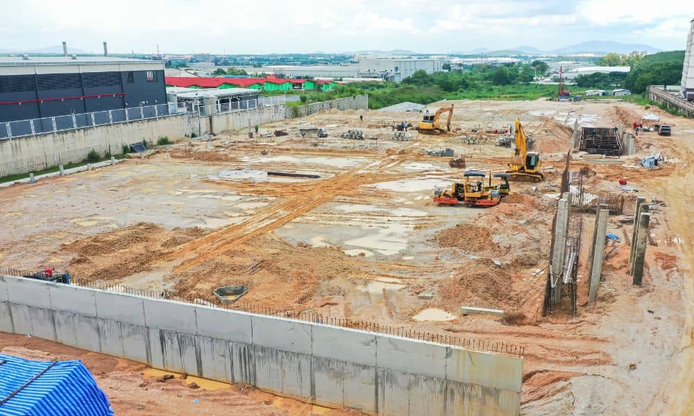
Drone surveying is no longer a futuristic tool. In Utah, it’s become part of everyday work for surveyors, builders, and developers. From mapping new subdivisions to checking flood channels along Dry Creek, drones are speeding up projects and delivering accurate data. But big changes are on the horizon. On September 29, 2025, the Federal Aviation […]