Drone Surveying: How FAA BVLOS Rules Could Reshape Work
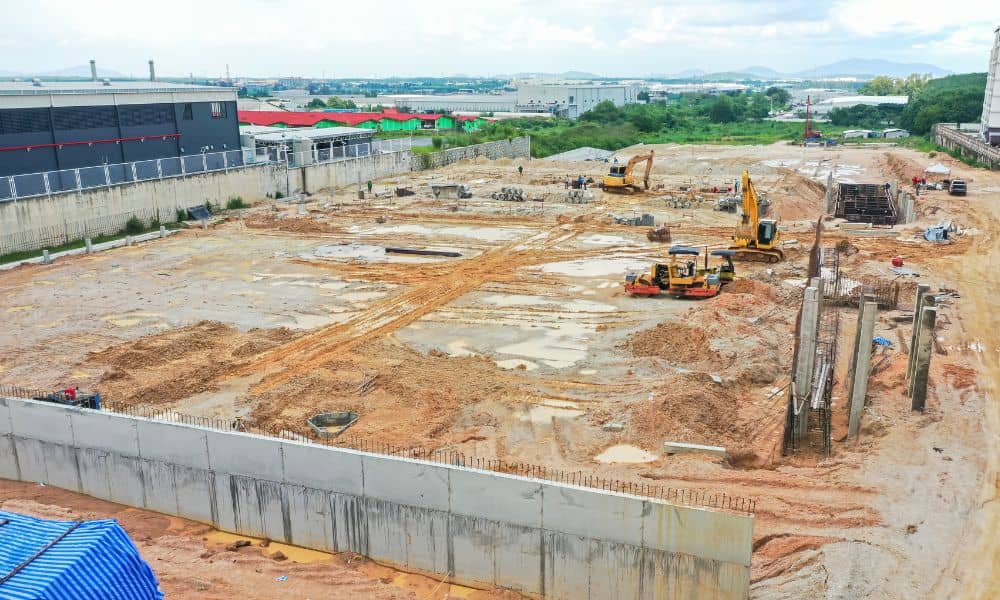
Drone surveying is no longer a futuristic tool. In Utah, it’s become part of everyday work for surveyors, builders, and developers. From mapping new subdivisions to checking flood channels along Dry Creek, drones are speeding up projects and delivering accurate data. But big changes are on the horizon. On September 29, 2025, the Federal Aviation […]
Why Flood Elevation Survey Matters After Burn-Scar Floods
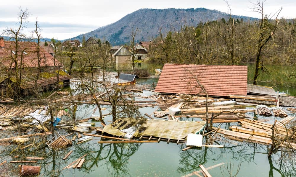
When storms hit mountains, the results can be sudden and dangerous. Just last week, heavy rain rolled over the Buckley Draw burn scar and sent water and debris rushing into nearby streets. Roads closed in minutes, and residents worried about what might happen next. For homeowners, the event was more than just a headline. It […]
Boundary Survey Could Decide a Public Trail Access Lawsuit
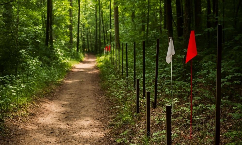
In Herriman, a local trail that residents have enjoyed for years is now at the center of a heated legal battle. The key to this dispute? A boundary survey. This survey will help decide whether the trail belongs to the public or if it sits on private land. The outcome will affect hikers, neighbors, and […]