Why You Now Need a Subdivision Survey in the Housing Boom
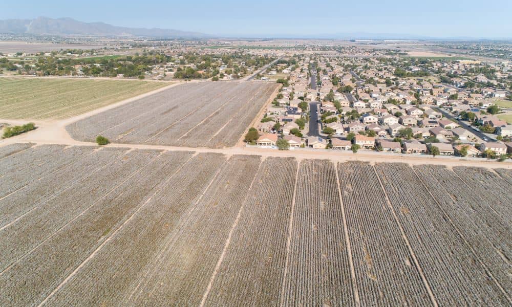
Herriman is growing faster than almost any city in Utah, and new neighborhoods keep appearing along the hills and open land. Because of this rapid development, many people are buying lots that look clean, measured, and ready for construction. However, even in these new communities, a subdivision survey becomes one of the most important steps […]
Why Trust-Land Reviews Raise ALTA Land Title Survey Demand
South Jordan keeps growing, and every change in land use affects people who plan to buy or build. A recent update from the Jordan Valley Water Conservancy District (JVWCD) may look simple, but it could lead to more requests for an ALTA Land Title Survey. When a public agency reviews its “trust lands,” it often […]
Why Does a Construction Survey Matter for Road Safety?
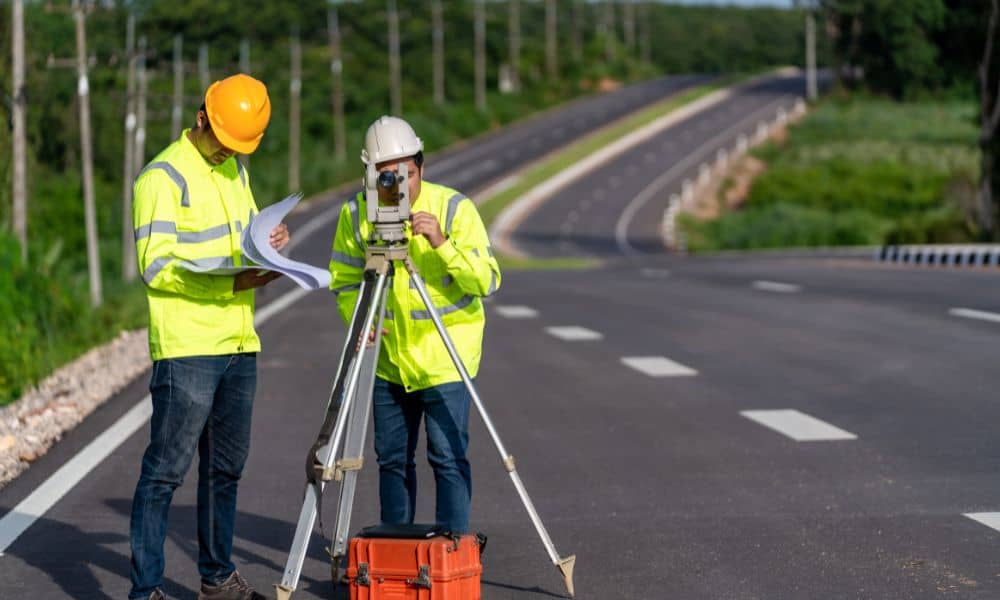
Ogden is changing, and many residents feel uneasy about it. Roads are widening, traffic patterns are shifting, and neighborhoods are adjusting to heavier flow. People are asking if these projects will improve daily life—or make it more dangerous. In the middle of these concerns, one factor matters more than most people realize: a construction survey. […]