Why the Corner Ruling Makes ALTA Land Title Survey Essential
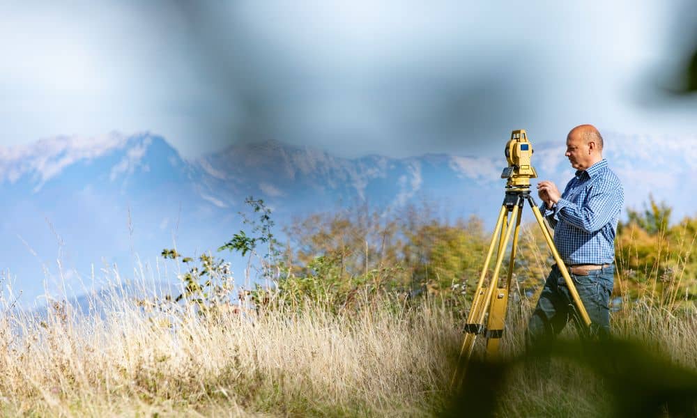
Utah landowners have a new reason to double-check their property lines. After the U.S. Supreme Court refused to hear the Wyoming corner-crossing case, the 10th Circuit Court’s ruling now stands—and that includes Utah. The decision has everyone from hunters to developers debating where public access ends and private ownership begins. For anyone buying, selling, or […]
How a Flood Elevation Certificate Can Cut Insurance Costs

After the powerful October 2025 storms, many homeowners were shocked to see water pooling in driveways, backyards, and even window wells. Streets that had always looked dry suddenly turned into mini rivers. Now, more residents are being told by lenders, insurers, or city officials that they need a flood elevation certificate something most people had […]
Drone Survey After Storms: What Surveyors Capture

Northern Utah woke up to soaked streets, washed-out slopes, and standing water after one of the wettest weekends on record. For surveyors, that means one thing — an all-out rush to document what changed. A drone survey has suddenly become the go-to tool for capturing flood damage, slope movement, and shifting terrain before the next […]