
How Survey Mapping Supports Accurate Property Development and Design Plans
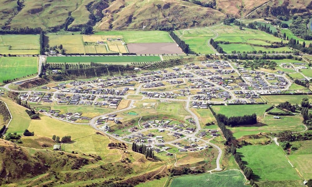
Utah County keeps adding planned communities. Lehi, Saratoga Springs, Eagle Mountain and the areas around Provo and Orem now hold neighborhoods that didn’t exist a few years ago. Building a community like that takes a lot of people working at once. Planners, architects, civil engineers and developers all touch the same piece of ground. For […]
Why Sloped Lots Need a Topographic Survey
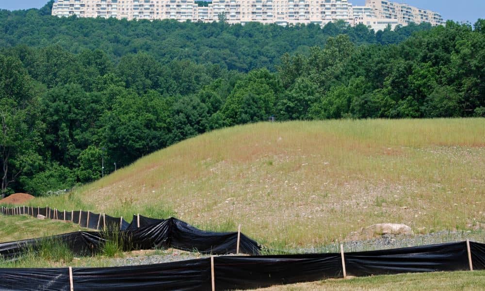
Buying a sloped lot can feel exciting at first. Many properties near the foothills offer incredible views, quiet streets, and more privacy than flatter neighborhoods. However, building on uneven land often comes with challenges that buyers do not notice right away. A property can look perfect during a showing. Then construction begins and unexpected problems […]
How a Topo Survey Prevents Costly Construction Mistakes

A topo survey might not be the first thing people think of when planning a build in Lehi, but skipping it is one of the most common and expensive mistakes. Whether you’re putting up a new home, adding a garage, or shaping the land for something bigger, ignoring what’s beneath your feet can lead to […]