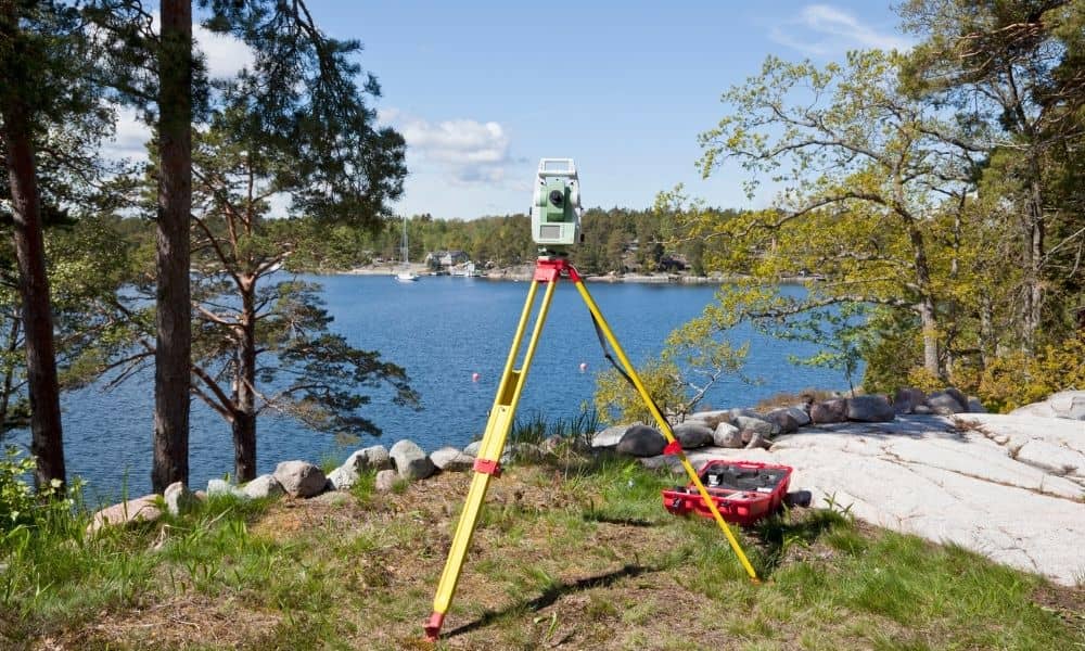
Utah Lake is about to change in a big way—and that means changes for homeowners too. The state plans to clean up the lake and remove invasive carp before the 2034 Olympics. That’s great news for the environment, but it could also shift how property lines are drawn near the shoreline. That’s where a boundary line survey becomes important.
If you live near Utah Lake, the Provo River Delta, or any nearby flood zone, this restoration could affect where your land begins and ends. As water levels and shorelines move, the legal lines that separate one property from another can move too.
The Utah Lake Restoration Project: What’s Going On
For years, Utah Lake has had problems—muddy water, pollution, and too many carp destroying plants and fish habitats. Now, the state is launching a major plan to fix it. The project includes removing millions of carp, cleaning up sediment, and restoring natural wetlands.
Experts say this will make the water clearer and healthier, but it will also reshape parts of the lake. When the land near water changes shape, property boundaries can change as well.
In simple terms, when the shoreline grows from new soil or shrinks from erosion, it can shift where private property ends and public land begins. That’s why getting your boundary line checked after big environmental projects like this is smart.
How Shoreline Changes Affect Property Lines
Picture this: your backyard used to stop a few feet from the lake. After the restoration, water levels go down, and now there’s more dry land in front of your property. On paper, your land might have grown—but legally, you won’t know for sure without a survey.
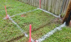
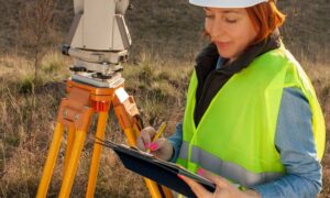
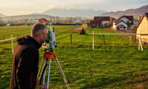
A boundary line survey shows exactly where your land starts and stops. Surveyors use official records, old plats, and precision tools to mark the true property corners.
Around the Provo River Delta, these surveys matter even more. The restoration work will change how the water flows, where soil settles, and how high or low the ground sits. Even a few feet of change could affect your setbacks, fences, or plans for a dock or shed.
Floodplain Updates and FEMA Map Changes
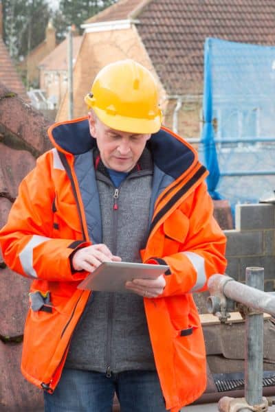
One of the biggest effects of this project will be new flood maps. When the lake’s water system changes, so does the way floods spread. FEMA may redraw flood zones after the restoration, which means your property’s flood risk could change.
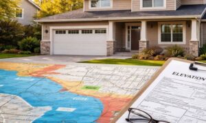
If your land ends up in a higher-risk area, your lender might ask for flood insurance. To get the right coverage, you’ll need both an elevation certificate and a current boundary line survey.
Even homes that aren’t right on the lake might be affected if new wetlands or channels redirect stormwater. That’s why it’s smart to have updated surveys before new maps come out. It helps avoid surprises later—like unexpected insurance costs or building restrictions.
New Building Rules Near Utah Lake
As Utah Lake improves, Provo is likely to see more buildings near the shore—parks, docks, or even homes. But new growth also means tighter rules.
The city will require accurate survey maps before approving new decks, fences, or structures close to the water. A boundary line survey makes sure you follow city setbacks and don’t build over an easement or neighbor’s property.
Without an updated survey, even a small mistake—like placing a dock a few inches too far—can lead to delays or fines. It’s much cheaper to confirm your line early than to fix it later.
A Real-Life Example: The Missing Marker
One Provo Bay homeowner found that one of their old survey markers was underwater after spring flooding. Sediment from the lake had shifted, and part of their lot’s edge disappeared. When they applied for a dock permit, the city asked for a new boundary line survey.
The updated survey showed the legal boundary had moved because of erosion. That saved the homeowner from building too close to the new high-water line and helped them stay in compliance with city rules.
Stories like this show that natural changes can quietly move boundaries. Getting a survey before big projects—like the Utah Lake restoration—helps you stay protected.
Why You Shouldn’t Wait
The restoration will take years, but the effects will happen step by step. As each phase reshapes the lake and nearby areas, small shifts in the ground could add up.
That’s why the best time to get a new boundary line survey is now. It creates a clear “before and after” record of your property. Later, if you need to prove where your land ends or how flood changes affected it, you’ll have solid evidence ready.
If you wait until the project is done, markers might already have moved, and it could cost more to correct outdated data.
What Homeowners Can Do
If your property is close to Utah Lake or the Provo River Delta, start by checking when your last survey was done. If it’s older than five years, or if you’ve noticed changes in your yard or shoreline, it’s time for an update.
You can look at your lot on Provo’s GIS map or the Utah County parcel viewer to get a general idea—but those maps aren’t legal proof. Only a licensed boundary surveyor can confirm your real property limits.
When talking with a surveyor, mention the Utah Lake restoration project. They’ll take current and future changes into account when preparing your new survey.
Protecting Your Property for the Future
The Utah Lake cleanup will bring cleaner water, better fishing, and a more beautiful view—but it will also bring change. Shorelines, flood zones, and property lines can shift quietly over time.
A boundary line survey helps you stay one step ahead. It protects your property value, keeps your permits valid, and gives you peace of mind knowing exactly where your land stands—even when nature decides to move things around.
If you live near Utah Lake or the Provo River Delta, now is the time to act. Call a licensed surveyor and schedule a survey before the restoration work moves forward. It’s a simple step that can save you from big problems later—and make sure your land stays truly yours.
