How LiDAR Mapping Reveals Terrain Changes After Wildfires
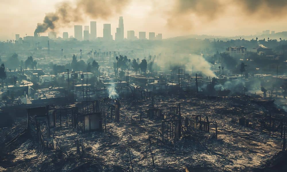
Wildfires do more than burn trees and grass. They change the land itself. In Utah, especially near foothills and canyon areas, fire can reshape slopes, soil, and drainage paths in ways that are not easy to see. That is where lidar mapping becomes important. Within days or weeks after a fire, landowners, engineers, and surveyors […]