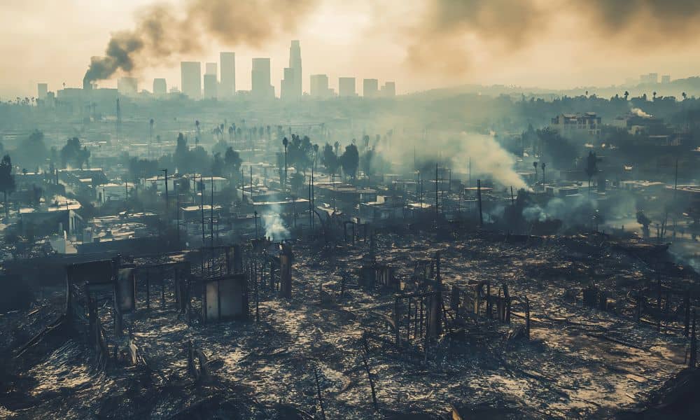
Wildfires do more than burn trees and grass. They change the land itself. In Utah, especially near foothills and canyon areas, fire can reshape slopes, soil, and drainage paths in ways that are not easy to see. That is where lidar mapping becomes important. Within days or weeks after a fire, landowners, engineers, and surveyors use this technology to understand what really changed on the ground and what risks may follow.
Properties face unique challenges after wildfires. Because of steep terrain and sudden storms, small changes in elevation can lead to serious erosion, flooding, or mudslides. Therefore, accurate land data matters more than ever once the smoke clears.
Why wildfires change the land, not just the landscape
When a wildfire burns through an area, it removes more than plants. Roots that once held soil in place disappear. In addition, intense heat can change how soil absorbs water. As a result, rain no longer soaks in the same way it did before.
After a fire, water often runs faster across the ground. Because of that, slopes can wash out, channels can form, and low areas can shift. These changes may not show up on older surveys or maps. However, they can affect property safety, building plans, and even boundary confidence.
For landowners, this creates a problem. You may own the same parcel, yet the terrain no longer behaves the same way. That gap between old data and new conditions causes costly surprises unless someone measures the land again.
What LiDAR mapping is and why it works so well after fires
LiDAR stands for “Light Detection and Ranging.” Simply put, it uses laser pulses to measure the ground. A sensor sends out thousands of laser points per second and records how long each one takes to return. From that timing, the system calculates precise elevation data.
LiDAR mapping works especially well after wildfires because it does not rely on visible features alone. Even when debris, ash, or sparse vegetation remains, the laser can still reach the ground. Therefore, surveyors can capture accurate terrain models when traditional methods struggle.
Unlike older mapping tools, LiDAR collects millions of data points across a property. Because of that density, it shows subtle slope changes that matter for drainage, stability, and planning.
How drone-based LiDAR mapping captures post-fire terrain
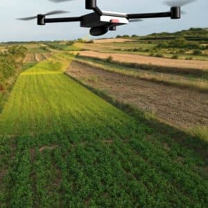
Today, most post-wildfire LiDAR mapping uses drones. These drones fly planned paths over the affected area. Meanwhile, the LiDAR sensor scans the ground below.
First, the drone collects raw elevation data. Next, surveyors process that data into digital terrain models. These models remove trees and structures so the ground surface stands alone. After that, engineers and planners analyze the results.
This process moves quickly. In many cases, teams complete flights in a single day. Processing follows soon after. Because of that speed, decision-makers can respond before erosion or flooding causes more damage.
What changes LiDAR mapping reveals after a wildfire
Post-wildfire terrain changes often surprise property owners. LiDAR mapping commonly reveals new drainage paths where water never flowed before. In addition, it can show slope steepening caused by soil loss.
Sometimes, LiDAR identifies low spots that now collect runoff. In other cases, it highlights unstable hillside areas that may fail during heavy rain. These details matter because small elevation shifts can trigger large problems later.
For example, a driveway that once drained safely may now funnel water toward a building. A planned home site may sit closer to a risk zone than expected. Without updated data, these issues stay hidden.
Utah example: using LiDAR after wildfire and mudslide events
In Utah, survey-grade drone LiDAR has already proven its value in post-fire conditions. After wildfire and mudslide events, teams used LiDAR mapping to measure erosion, sediment movement, and flood risk across affected terrain.
These projects showed how quickly land can change after fire. More importantly, they showed how accurate elevation data supports safer recovery planning. While agencies often lead large studies, the same principles apply to private property.
Landowners near burn areas face similar risks, even on a smaller scale. Therefore, the lessons from these projects help guide decisions for residential and commercial sites alike.
When property owners should consider LiDAR mapping
Not every property needs LiDAR mapping after a wildfire. However, some situations strongly call for it.
If you plan to build or rebuild near a burned area, updated terrain data matters. Likewise, if your land sits on a slope or near a drainage channel, post-fire changes may affect stability. In addition, buyers who consider land near recent fire zones often request updated surveys to reduce risk.
Even existing owners may notice warning signs. For instance, faster runoff, new rills in soil, or pooling water after storms often signal terrain changes. In those cases, LiDAR mapping provides clear answers instead of guesswork.
How LiDAR mapping supports safer planning and permits
Accurate terrain data supports better decisions. Engineers rely on LiDAR mapping to design drainage systems that match current conditions. Planners use it to assess flood risk and slope stability. As a result, projects face fewer surprises during construction.
In Utah, permitting often depends on accurate site information. Updated elevation models help support applications for grading, drainage, and development approvals. Because of that, LiDAR mapping can save time and money by reducing redesigns.
For lenders and insurers, current land data also builds confidence. When everyone works from the same accurate map, projects move forward more smoothly.
What to expect if you need LiDAR mapping for your property
The process usually starts with a site review and flight plan. Next, the drone team collects data during favorable weather. After processing, you receive detailed terrain models and maps.
Surveyors often combine LiDAR results with other surveys, such as boundary or topographic surveys. Together, these tools create a complete picture of the property. Most importantly, the data reflects current ground conditions, not assumptions from years ago.
Why accurate land data matters after wildfire
Wildfires change land in ways that last long after the flames go out. Because Utah’s terrain amplifies these effects, accurate measurement becomes essential. LiDAR mapping gives landowners, engineers, and planners the clarity they need to move forward with confidence.
Instead of guessing how the land behaves now, you can see it clearly. That insight helps protect investments, improve safety, and support smarter planning in a post-wildfire landscape.