Why Aerial Mapping Is Stopping Illegal Land Use
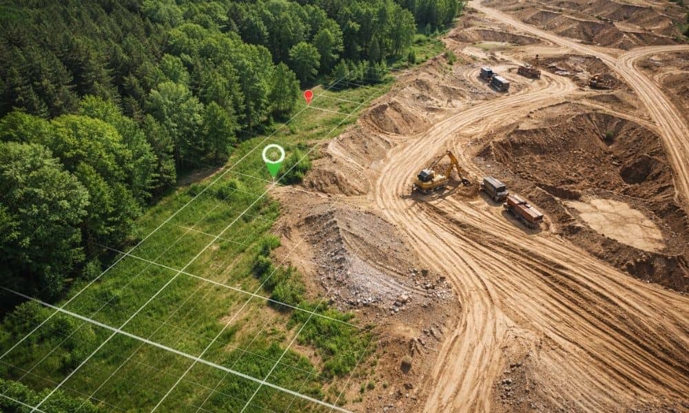
Across the world, governments now use aerial mapping to stop illegal land activity. In recent days, officials overseas launched drone-based aerial mapping programs to track unauthorized excavation and land exploitation. Instead of relying only on ground patrols, they now use high-resolution maps that show changes in the land over time. That shift matters — not […]