Should You Get a Land Survey Before Buying a New Home?
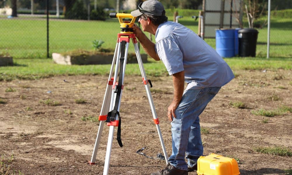
Buying a new-construction home feels safe. Everything is new. The layout looks clean. The builder says it’s ready. That does not mean the lot is correct. A home can sit a few feet off. A driveway can cross a line. A fence can land on the wrong side. Most buyers do not notice this until […]
How a Drone Survey Supports Freeway Construction Projects
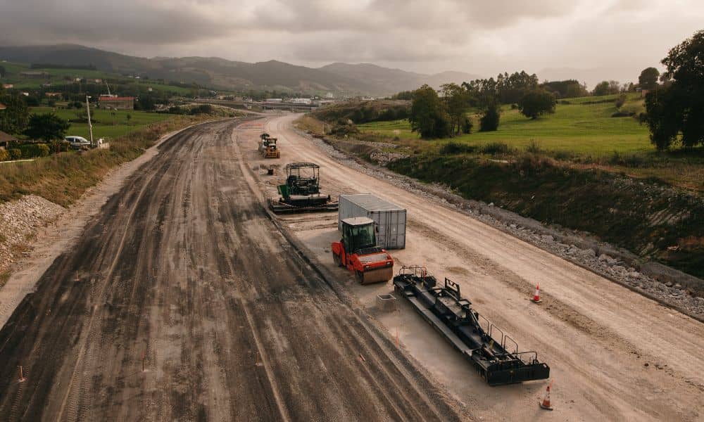
Big road projects look simple from the outside. You drive past and see crews working, machines moving, and lanes shifting. It feels organized. Still, that smooth look takes a lot of coordination behind the scenes. Right now, the Utah Department of Transportation is building a new freeway connection in Lehi. The project includes bridges, road […]
Do You Need a Land Survey Before You Build a Fence?

A fence project feels simple at first. You picture the layout, pick a style, and plan the install. Then the corner lot changes things. Many homeowners in Provo start building without thinking much about placement. Later, they realize the fence sits too close to the street or doesn’t follow the true property line. Fixing that […]