Check the Capture Date of Aerial Imagery Before Using It
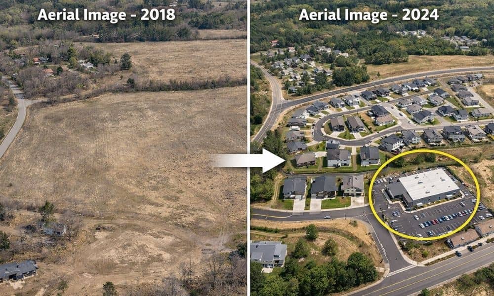
Many people use aerial imagery when they want to learn more about a piece of land. In fact, it often becomes a starting point for aerial imagery for property research, especially when buyers, builders, or property owners want a quick view of the area. At first glance, these images look clear, detailed, and current. You […]
The Hidden Role of a Land Surveyor in Development Projects

Provo keeps growing. New homes, new businesses, and new roads appear across the city every year. Recently, people started talking about a large project planned for the East Bay area. Many discussions focus on utilities, traffic, and land use. However, before any big project begins, one expert plays a very important role: the land surveyor. […]
House Staking Checklist: 12 Steps Before You Pour Concrete
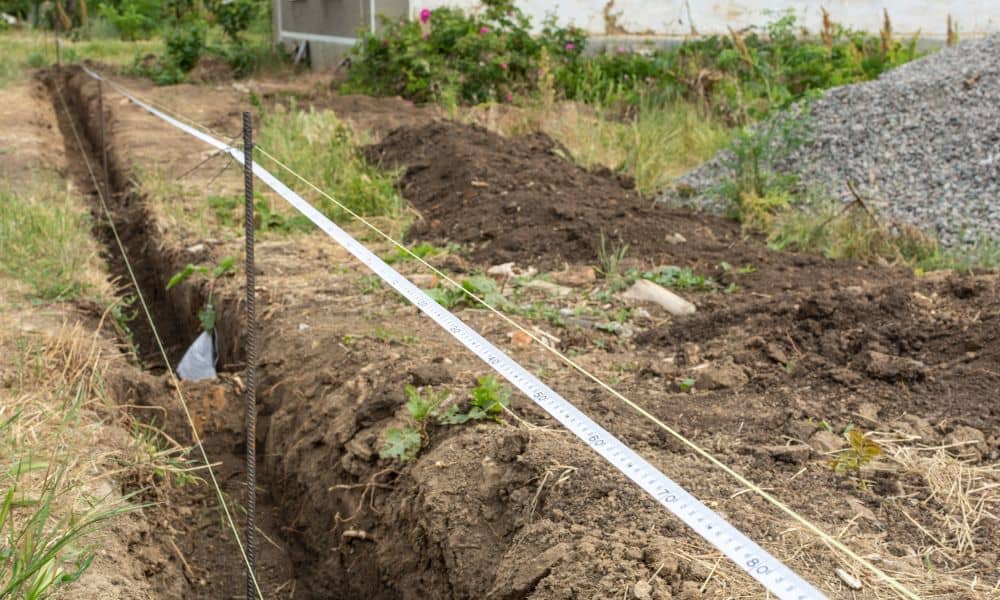
If you’re building a home, there’s one step that quietly controls everything that comes next: house staking. Before excavation starts. Before forms go in. Before concrete trucks show up. House staking marks the exact location of your future home on the lot. It sets the corners, confirms setbacks, and locks in elevation. When it’s done […]