When a Property Survey Changes Your Property Line
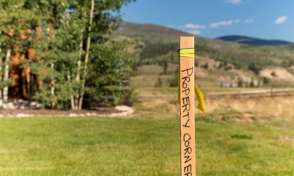
Most Salt Lake City homeowners feel confident about their property. They know where the fence sits. They know where the driveway runs. And after living there for years, it feels settled. Then a property survey gets ordered. Suddenly, everything changes. This kind of story has been spreading online lately, and for good reason. Homeowners are […]
Why New Fault Data Is Changing How LiDAR Mapping Is Used
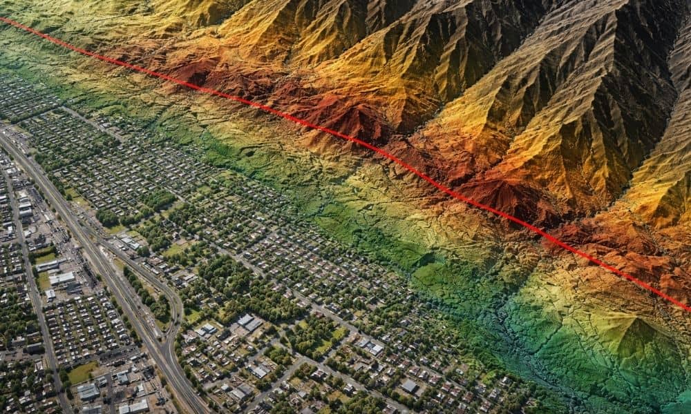
Land development in Provo has always required careful planning. However, recent updates to Utah’s fault data are changing how developers evaluate land risk. What once looked like stable ground may now raise new questions. Because of this shift, more developers are turning to lidar mapping Utah projects early, not later, in the planning process. This […]
How to Prepare for a Title Survey and Avoid Costly Delays

Ordering a title survey may sound easy. You contact a surveyor, they visit the site, and you receive a map. Still, the accuracy of that map depends on what happens long before the surveyor arrives. When documents are missing, access is blocked, or boundaries are misunderstood, the process slows down. Revisions then become more likely. […]