Property Line Survey Shows the Truth Behind the Viral Yard
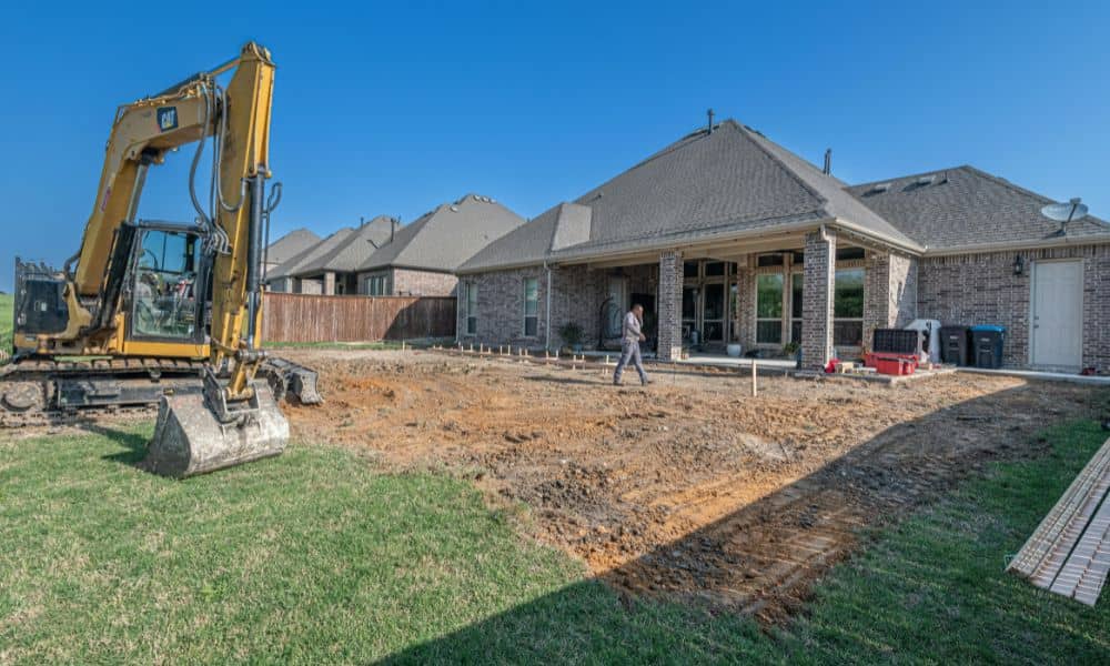
If you’ve been on social media lately, you’ve probably seen that viral story about a homeowner who came home to find part of their yard destroyed. A neighbor claimed the land was actually theirs, and the situation turned into a giant online fight. People jumped in with comments like “Get a survey!” and “Sue them […]
ALTA Title Survey: How a Court Ruling Could Complicate It

If you’re planning to buy or build property near Salt Lake City, there’s a new rule you should know about. The Utah Supreme Court’s recent West Hills ruling—decided on November 6—just changed how city boundaries are set. For surveyors, lenders, and developers, that change could mean one thing: your next ALTA Title Survey might take […]
When Nature Shifts, You Might Need a Boundary Line Survey
Utah Lake is about to change in a big way—and that means changes for homeowners too. The state plans to clean up the lake and remove invasive carp before the 2034 Olympics. That’s great news for the environment, but it could also shift how property lines are drawn near the shoreline. That’s where a boundary […]