land surveying
How LiDAR Mapping Reveals Terrain Changes After Wildfires
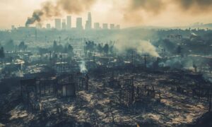
Wildfires do more than burn trees and grass. They change the land itself. In Utah, especially near foothills and canyon areas, fire can reshape slopes,
Wildfires do more than burn trees and grass. They change the land itself. In Utah, especially near foothills and canyon areas, fire can reshape slopes,
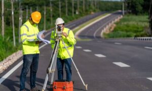
Ogden is changing, and many residents feel uneasy about it. Roads are widening, traffic patterns are shifting, and neighborhoods are adjusting to heavier flow. People
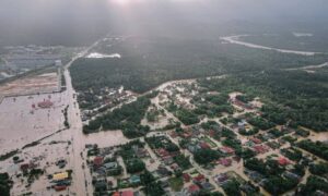
Northern Utah woke up to soaked streets, washed-out slopes, and standing water after one of the wettest weekends on record. For surveyors, that means one