What Drone Land Surveying Can and Can’t Replace
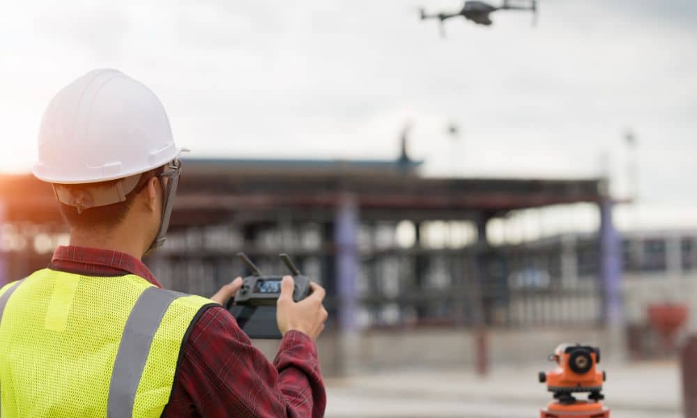
Drone technology is everywhere right now. You see it in real estate videos, construction updates, and even backyard photos. Because of that, many people assume drone land surveying can fully replace licensed surveyors. Over the past few days, that idea sparked a heated backlash online. Licensed surveyors pushed back hard, especially on Reddit, saying the […]
Drone Survey After Storms: What Surveyors Capture

Northern Utah woke up to soaked streets, washed-out slopes, and standing water after one of the wettest weekends on record. For surveyors, that means one thing — an all-out rush to document what changed. A drone survey has suddenly become the go-to tool for capturing flood damage, slope movement, and shifting terrain before the next […]
Drone Surveying: How FAA BVLOS Rules Could Reshape Work
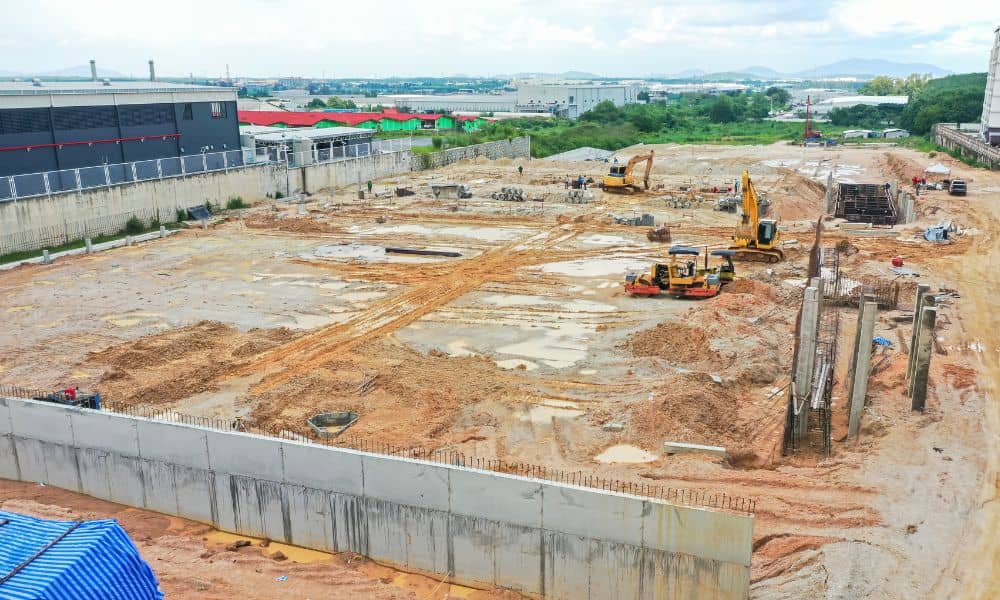
Drone surveying is no longer a futuristic tool. In Utah, it’s become part of everyday work for surveyors, builders, and developers. From mapping new subdivisions to checking flood channels along Dry Creek, drones are speeding up projects and delivering accurate data. But big changes are on the horizon. On September 29, 2025, the Federal Aviation […]