Drone technology is everywhere right now. You see it in real estate videos, construction updates, and even backyard photos. Because of that, many people assume drone land surveying can fully replace licensed surveyors. Over the past few days, that idea sparked a heated backlash online. Licensed surveyors pushed back hard, especially on Reddit, saying the public is getting the wrong message.
So what’s really going on? And more importantly, what does this mean for homeowners, builders, and developers who just want accurate results without legal trouble?
Why This Debate Suddenly Took Off
In recent online discussions, drone pilots asked how to “break into surveying” using drones alone. That question triggered strong reactions from licensed surveyors. Many felt frustrated, not because they hate technology, but because the role of professional judgment keeps getting ignored.
At the center of the backlash is confusion. People hear the word “surveying” and assume the tool does the work. However, surveyors argue that flying a drone and surveying land are two very different things. This debate went viral because it affects real projects, real money, and real property rights.
Where the Misunderstanding Starts
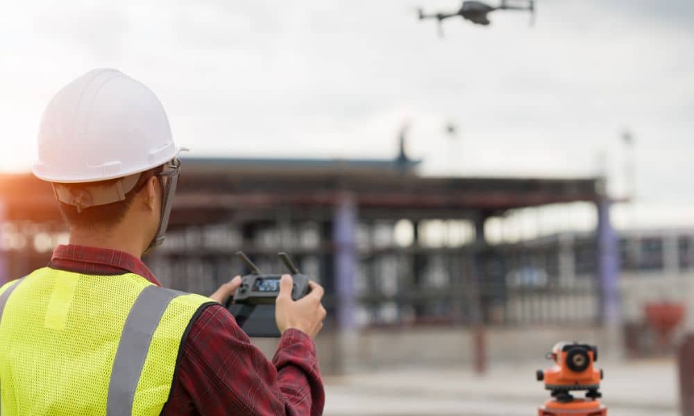
Drones collect data. That part is true. They take photos, create models, and map surfaces. Because of this, the term drone land surveying often gets used loosely in marketing.
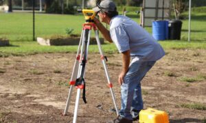
However, surveying is not just about gathering images. It involves deciding what those images mean. Licensed surveyors interpret boundaries, apply legal records, and resolve conflicts between old deeds and real-world conditions. A drone cannot make those calls.
As a result, the backlash exists because clients sometimes hire drone-only services, thinking they’re getting a full survey. Then problems show up later.
What Licensed Surveyors Say Drones Cannot Replace
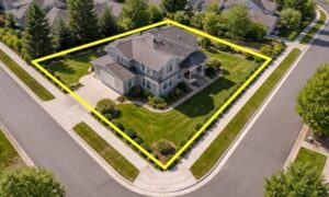
Surveyors are not worried about drones taking photos. Instead, they worry about decisions that affect property rights. For example, boundary lines often don’t match fences, driveways, or even old maps. Someone has to decide which evidence matters most.
That decision requires training, experience, and a license. A drone cannot weigh legal documents, spot errors in old plats, or judge which corner evidence holds up in court. Surveyors do that work on the ground and in the office.
Because of this, many professionals say the backlash is about responsibility, not technology.
Why Clients Feel the Impact First
When mistakes happen, clients pay the price. A misplaced boundary can lead to disputes with neighbors. A wrong stake can delay construction. In some cases, projects must stop entirely.
Surveyors often get called after a problem shows up. At that point, fixing the issue costs more than doing it right from the start. This is why surveyors speak out so strongly. They see the same mistakes repeat when drones get used without proper oversight.
For clients, the risk is not the drone itself. The risk comes from missing professional judgment.
The Accountability Gap Most People Miss
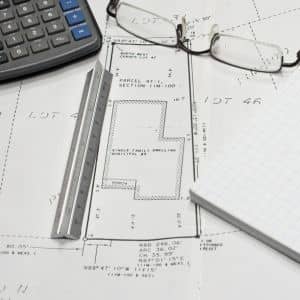
Here’s where things get serious. When a licensed surveyor signs a survey, they take legal responsibility for it. Their license, reputation, and insurance back up that work.
With drone-only services, that accountability may not exist. If data turns out wrong, who stands behind it? Who explains it to a city, a lender, or a judge?
This gap is one reason the industry backlash grew so fast. Surveyors want clients to understand that not all data carries the same weight.
Why This Matters Even More
Utah continues to grow fast. Cities expand, lots get smaller, and land history grows more complex. In many areas, property lines sit close together, and small errors cause big disputes.
Because of this, professional interpretation matters more than ever. Images alone don’t solve boundary questions. Local knowledge, field checks, and legal understanding do.
That’s why surveyors care deeply about how drone land surveying gets presented to the public. The tool helps, but it does not replace local expertise.
How Clients Can Use Drone Land Surveying the Right Way
This debate does not mean drones are bad. In fact, they add real value when used correctly. The key is knowing how they fit into the process.
The safest approach combines drone data with licensed oversight. That way, clients get modern mapping tools plus professional responsibility. When surveyors control the workflow, drone data becomes reliable and defensible.
Instead of asking, “Do you use drones?” a better question is, “Who is responsible for the final survey?”
What the Backlash Is Really Saying
At its core, the backlash sends a clear message. Technology keeps improving, but responsibility does not disappear. Surveyors are not afraid of change. They simply want clients to understand what protects them in the long run.
Drone land surveying works best as part of a professional service, not a shortcut. When used that way, it saves time without creating risk.
Final Thoughts
Drones will stay in surveying. That part is clear. Still, licensed surveyors remain essential because land decisions carry legal weight. Recent industry backlash exists to protect clients, not block progress.
Before starting a project, take a moment to ask the right questions. Make sure modern tools and professional judgment work together. That balance protects your property, your timeline, and your peace of mind.