How To Find Your Property On FEMA’s Flood Insurance Rate Maps

What are FEMA flood maps?
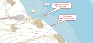
FEMA’s Flood Insurance Rate Maps (FIRMs) or just Flood Maps are provided after a flood risk assessment has been completed or updated for a community.  This study is known as a Flood Insurance Study.  The FIRM gives you the Base Flood Elevations (BFEs) and insurance risk zones in addition to floodplain boundaries.  The FIRM may also show a delineation of the regulatory floodway.

Once the “insurance risk zone”  (commonly referred to as the flood zone) is determined, actuarial rates, based on these risk zones, are then applied for newly constructed, substantially approved, and substantially damaged buildings.  FEMA uses these rates to determine the insurance rate you will pay for flood insurance

FEMA’s Digital Flood Maps

FEMA discontinued the production and distribution of paper flood maps in 2009 as part of its Digital Vision Initiative. This affected all the Flood Maps, boundary information, and study reports. However, clients can still view the products for free through their website or buy them in digital format.

To view these flood maps online, go to FEMA’s Map Service Center and key in your address (hi-lited area shown here) search for your home.  This will prompt you to then select the map that covers your area.  The Flood Maps are somewhat cumbersome to use online. It is best to go through the tutorial on the bottom right of the address search page for an easier and more effective use of the GIS map.


author avatar
Surveyor

More Posts

Survey crew performing an as-built survey and site verification at a completed commercial property
land surveying
Surveyor

What Is an As-Built Survey and Why Banks and Cities Require It

After construction ends in Ogden, one document can determine whether your project gets approved, funded, or legally closed: the as-built survey. Most people have never heard of it. But if you are building, buying, or financing a property, it matters more than you might expect. What Is an As-Built Survey?

Read More »
Sloped lot prepared for construction showing elevation changes and grading conditions
land surveying
Surveyor

Why Sloped Lots Need a Topographic Survey 

Buying a sloped lot can feel exciting at first. Many properties near the foothills offer incredible views, quiet streets, and more privacy than flatter neighborhoods. However, building on uneven land often comes with challenges that buyers do not notice right away. A property can look perfect during a showing. Then

Read More »
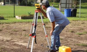
Land survey before buying a new home with a surveyor measuring a residential property
land surveying
Surveyor

Should You Get a Land Survey Before Buying a New Home?

Buying a new-construction home feels safe. Everything is new. The layout looks clean. The builder says it’s ready. That does not mean the lot is correct. A home can sit a few feet off. A driveway can cross a line. A fence can land on the wrong side. Most buyers

Read More »
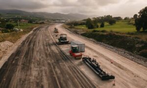
Freeway construction site with road grading and earthwork in progress showing large-scale infrastructure work monitored through a drone survey
land surveying
Surveyor

How a Drone Survey Supports Freeway Construction Projects

Big road projects look simple from the outside. You drive past and see crews working, machines moving, and lanes shifting. It feels organized. Still, that smooth look takes a lot of coordination behind the scenes. Right now, the Utah Department of Transportation is building a new freeway connection in Lehi.

Read More »
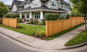
Fence placement on a corner lot showing how a land survey helps avoid building too close to the street
land surveying
Surveyor

Do You Need a Land Survey Before You Build a Fence?

A fence project feels simple at first. You picture the layout, pick a style, and plan the install. Then the corner lot changes things. Many homeowners in Provo start building without thinking much about placement. Later, they realize the fence sits too close to the street or doesn’t follow the

Read More »
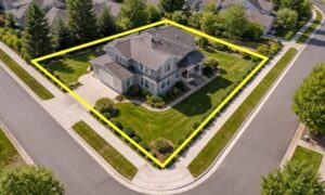
Aerial view of a residential corner lot with visible property boundaries and survey markings showing lot limits and usable space
alta survey
Surveyor

Buying a Corner Lot? Why a Title Survey Matters

Buying a corner lot can feel like a smart move. The space looks bigger, and the home stands out more. You also get extra street access, which many buyers like. But looks can be deceiving. Some parts of the lot may seem usable, yet they come with limits you won’t

Read More »