In Herriman, a local trail that residents have enjoyed for years is now at the center of a heated legal battle. The key to this dispute? A boundary survey. This survey will help decide whether the trail belongs to the public or if it sits on private land. The outcome will affect hikers, neighbors, and the city’s plans for public access. But what exactly is a boundary survey, and why does it matter so much in this case?
Why Trail Dispute Matters
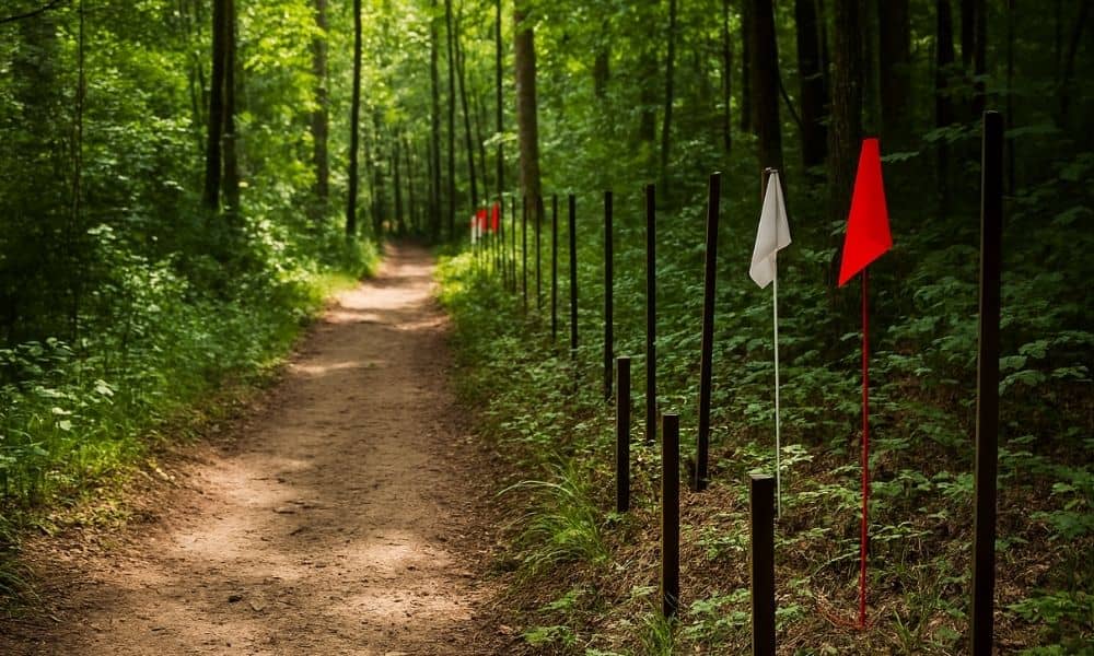
The trail in question has been a popular spot for locals, but recently, property owners nearby claimed the path crosses their private land. The city argues that the trail is a public right of way, used by many for recreation and access. Now, the fight has moved to the courts, where legal teams and surveyors will look at the land carefully to figure out who owns what.
This conflict isn’t just about a trail. It’s about public access, property rights, and how land is officially divided. When a trail is open to the public but lies near private homes, questions arise: Did the city have permission to use this land? Does the public have a legal right to keep using the path? To answer these questions, the court relies heavily on precise land measurements, which is where the boundary survey comes in.
What Is a Boundary Survey?
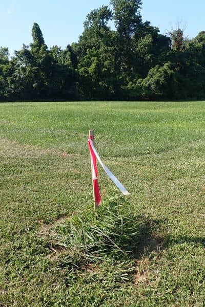
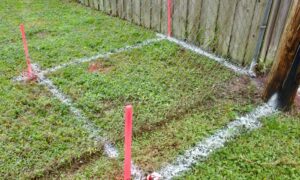
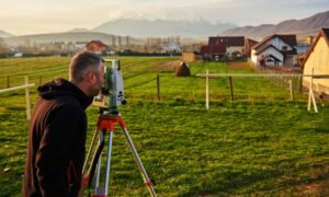
Simply put, a boundary survey is a professional measurement that defines the exact edges of a property. Surveyors use tools and official records to find the true boundaries between neighboring parcels of land. This is not just guessing where a fence stands or following a worn path. Instead, surveyors look at legal documents, maps, and physical markers on the land—like metal stakes or concrete monuments—to draw a clear, official line.
In the Herriman case, the boundary survey will show if the trail lies on public land, private property, or some shared space. Without this clear line, the court cannot fairly decide who has rights to the trail. This makes the boundary survey a powerful and necessary piece of evidence.
How Boundary Surveys Settle Public Access Disputes
Disputes over land access happen more often than many people realize. Trails, roads, or paths may have been used by the public for years but never officially recorded as public land. Sometimes, landowners claim the same area, leading to conflicts.
A boundary survey helps by providing clear facts about the land’s borders. Surveyors study old records and maps, then carefully measure the land on-site to confirm or correct these boundaries. If a trail crosses over private property without permission, the survey will show that. On the other hand, if the trail lies within a public right of way, the survey can protect the public’s access rights.
In Herriman, the survey will clarify where the city’s land ends and where private property begins. It will also help identify any easements—legal agreements that allow someone to use part of another person’s land for specific purposes, like walking trails or utility access.
What Challenges Do Surveyors Face?
Surveyors don’t always have it easy. In places like Herriman, where land has changed hands over many years, old records may be missing, unclear, or contradictory. Sometimes, original survey markers have been lost, moved, or destroyed. In these cases, surveyors must dig deeper into historical documents and try to piece together the original boundaries.
This process can take time and requires skill. Surveyors may also have to work around natural obstacles like hills, trees, or fences. Yet, their work is critical. Without their careful measurements, property lines remain uncertain, and disputes like the trail lawsuit cannot be settled fairly.
What Does This Mean for Residents?
For people living near the trail, the outcome of this lawsuit will impact their daily lives. If the court rules the trail is private land, public access may be closed, changing how residents enjoy the outdoors. Property owners might be able to restrict entry to protect their privacy and land value.
On the other hand, if the survey confirms the trail is public, the city and community will have the right to keep the path open. This could lead to improvements like better signage, maintenance, or safer access points.
This case also sends a clear message to all property owners: knowing your exact property lines is important. Boundary surveys protect you from unexpected legal problems, whether you’re a homeowner, developer, or local official. They help everyone understand where one property ends and another begins, keeping neighbors’ relationships positive and avoiding costly disputes.
How You Can Protect Your Property with a Boundary Survey
Even if you’re not involved in the trail lawsuit, you can learn from it. A boundary survey is a smart step if you own land or are buying property. It gives you peace of mind and legal protection by showing exactly where your property lines are.
If you plan to build a fence, add a deck, or sell your home, a survey will help avoid surprises. It also proves your property’s boundaries to neighbors, lenders, and city officials.
Most importantly, hiring a licensed land surveyor ensures you get an accurate, trustworthy survey. Local experts understand the area’s unique history and challenges, which means your survey is reliable and recognized.
Conclusion:
The trail lawsuit shows just how important boundary surveys are in land disputes. When old trails cross property lines, a clear, professional survey can decide who owns the land—and who can use it. This isn’t just about maps and markers; it’s about communities, access to nature, and respecting property rights.
For growing cities, boundary surveys protect both public interests and private ownership. They help avoid conflicts before they start and provide the facts needed to solve disputes fairly.
If you own property near shared spaces or public trails, consider a boundary survey. It might just be the key to protecting your land and your community’s access to the great outdoors.
