Do You Need an Elevation Certificate? Find Out Now
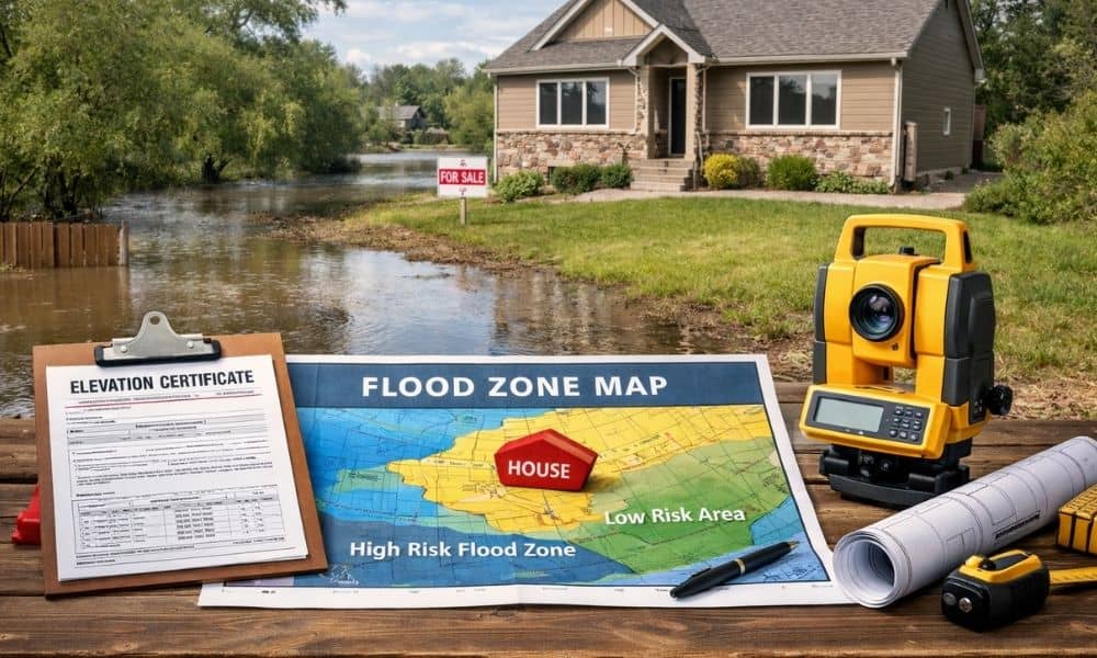
Buying a home should feel smooth. You find the right place, agree on a price, and move toward closing. However, many buyers are surprised when a lender or insurance company suddenly asks for an elevation certificate, and you start wondering why it may be required in the first place. At that moment, things slow down. […]
What a Construction Survey Must Get Right on Roads

Lehi, Utah keeps growing fast. New roads stretch across the city, and new developments follow close behind. You may see machines, crews, and materials on site. However, before any of that work begins, something very important happens first. It starts with a construction survey. A construction survey takes the plans for a road and places […]
Check the Capture Date of Aerial Imagery Before Using It
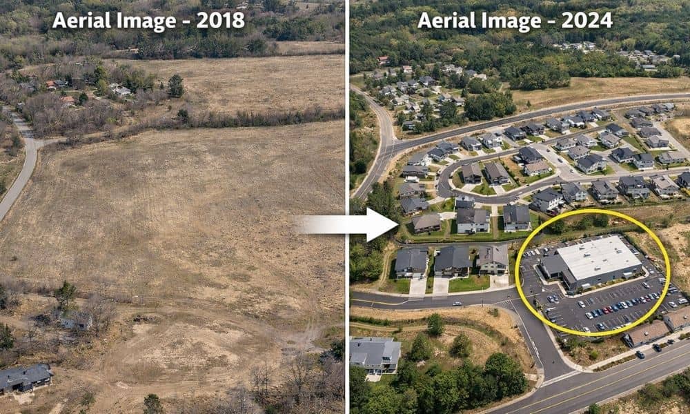
Many people use aerial imagery when they want to learn more about a piece of land. In fact, it often becomes a starting point for aerial imagery for property research, especially when buyers, builders, or property owners want a quick view of the area. At first glance, these images look clear, detailed, and current. You […]