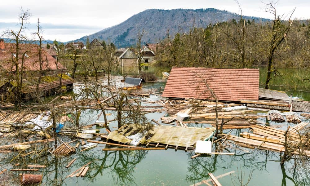
When storms hit mountains, the results can be sudden and dangerous. Just last week, heavy rain rolled over the Buckley Draw burn scar and sent water and debris rushing into nearby streets. Roads closed in minutes, and residents worried about what might happen next. For homeowners, the event was more than just a headline. It was a warning. If fire-scorched hillsides can flood that fast, what does it mean for neighborhoods closer to the Wasatch Front? That’s where a flood elevation survey steps in—it goes beyond forms—it’s information that drives real decisions.
What a Flood Elevation Survey Really Means
Many people confuse a flood elevation survey with a general land or topographic survey. The difference is important. A flood elevation survey measures how high your home sits compared to FEMA’s Base Flood Elevation (BFE). Think of it as finding out if your property is above or below the invisible water line FEMA uses to decide flood risk.
This isn’t just a technical detail. The results determine whether your property is considered inside a floodplain, which affects your insurance, your mortgage, and even your property value. Unlike a boundary survey that tells you where your fence belongs, a flood elevation survey tells you whether your living room could be on the wrong side of a future flood map.
Why Burn Scars Change the Equation
Wildfires change land faster than most people realize. Once trees and brush burn away, the soil loses the natural sponge that absorbs rainfall. When a storm hits, water rushes downhill with little to slow it. Debris flows, mud, and even boulders can move in minutes. That’s exactly what happened in Provo, and it could happen again anywhere along canyons.
The big issue is how these events force FEMA and local officials to rethink flood maps. Areas that once looked safe may suddenly carry a higher risk. If you live near foothills or creeks, your property might be added to a flood zone. Flood elevation surveys give you data to prove exactly where your home stands in relation to the new water risk.
The Real Impact on Insurance and Mortgages
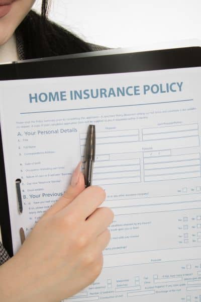
Insurance companies don’t work on guesses. If your home ends up mapped into a higher flood zone, your premiums can climb fast. Sometimes you’ll be required to buy a new flood policy, even if your property never had water problems before. That’s where having a recent flood elevation survey makes a difference.
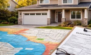
With certified data, you can apply for a FEMA Elevation Certificate. This document can lower your premiums by showing your home sits above the base flood level. Without it, insurers assume the worst and charge you more.
Mortgage lenders also rely on these surveys. When closing on a home near a burn scar or refinancing in a mapped floodplain, banks often ask for proof. If you can’t provide a flood elevation survey, the process slows down or costs go up.
Beyond the Forms: Protecting Your Property
It’s easy to think of surveys as documents for banks and city offices, but this one is personal. Knowing how your home sits against potential floodwaters helps you make smart decisions. Maybe you add a retaining wall, raise a crawl space, or improve drainage. Or maybe you use the survey to challenge FEMA’s map with a Letter of Map Amendment (LOMA), removing your property from the flood zone altogether.
In any case, the survey gives you leverage. You’re not waiting for an insurer or official to tell you what to do. You have the numbers to back up your choices.
Why Homeowners Should Pay Attention
Salt Lake City has several neighborhoods right against the Wasatch Front. Places like the Avenues, Millcreek, and Olympus Cove see water run off the mountains after almost every storm. Add in the growing number of wildfires, and the risk isn’t just theoretical.
If you notice water pooling in your yard, changes in drainage after a storm, or if you receive a letter about new floodplain maps, it’s time to act. Ordering a flood elevation survey before problems escalate saves stress and money later. It also prepares you to deal with lenders, insurers, and city permit offices without delay.
When to Consider Getting a Survey
Not every homeowner needs a flood elevation survey, but several situations make it worth serious thought:
- After a major wildfire or storm near your area.
- If your neighborhood is being reclassified on FEMA’s flood maps.
- When buying or refinancing a property close to foothills, creeks, or rivers.
- If you’re facing higher insurance premiums without clear data.
These are moments when guessing doesn’t work. Accurate survey data puts you back in control.
How It Connects to Boundary and Drainage Issues
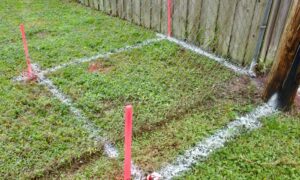
Floodwaters don’t respect fences. They can move soil, cover markers, and even make yards look different overnight. While your legal boundaries never change, the visible signs of them can. That’s why pairing a flood elevation survey with a boundary re-stake or drainage survey often makes sense after a big storm. Together, they show not only where your lot begins and ends but also how water interacts with it.
Taking Action Before the Next Storm
If you live along the Wasatch Front, you don’t need to wait until the next heavy rain to worry. A flood elevation survey is a small step with a big payoff. It tells you exactly where you stand, literally and financially.
Storms will keep coming, and wildfires will keep leaving scars on mountains. What you can control is how prepared you are. By having certified data in hand, you can protect your wallet, your property, and your long-term investment.
Final Thoughts
Flooding was a wake-up call, not an isolated event. For homeowners, it highlighted how quickly conditions can change after a fire. The question isn’t if another storm will test the burn scars—it’s when.
A flood elevation survey doesn’t stop the rain, but it does give you the information you need to prepare. Whether it’s lowering your insurance premiums, speeding up a loan closing, or helping you make upgrades that actually work, the survey keeps you one step ahead.
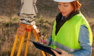
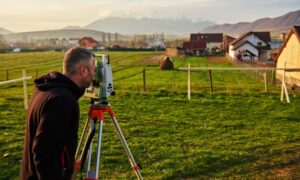
Before the next storm season, talk with a licensed land surveyor. The cost of a flood elevation survey is small compared to the clarity and confidence it brings.
