Topographic Surveys Change After an Archaeological Debate
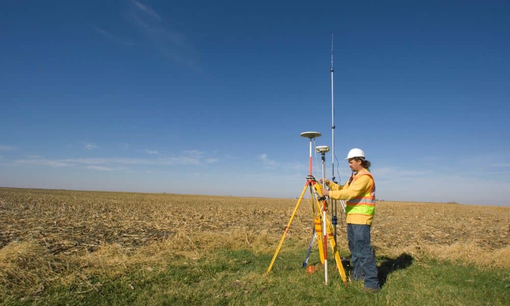
Topographic surveys help people understand the shape of the land. For many years, they have supported planning, design, and land decisions. Recently, however, a new online debate brought topographic surveys into focus for a different reason. A discussion about archaeological mapping and survey technology spread quickly among professionals. Because of this, many people have started […]
What Drone Land Surveying Can and Can’t Replace

Drone technology is everywhere right now. You see it in real estate videos, construction updates, and even backyard photos. Because of that, many people assume drone land surveying can fully replace licensed surveyors. Over the past few days, that idea sparked a heated backlash online. Licensed surveyors pushed back hard, especially on Reddit, saying the […]
How LiDAR Mapping Reveals Terrain Changes After Wildfires

Wildfires do more than burn trees and grass. They change the land itself. In Utah, especially near foothills and canyon areas, fire can reshape slopes, soil, and drainage paths in ways that are not easy to see. That is where lidar mapping becomes important. Within days or weeks after a fire, landowners, engineers, and surveyors […]